This trail can be walked in a two-mile loop, but since it’s
quite flat at this coastal state park, we suggest including the earthworks loop
to make it nearly three miles. Plan around two hours to walk this trail.
Bicycles and leashed pets are welcome, with bikers giving way to pedestrian
traffic as is customary trail etiquette. Follow along the numbered posts and
signage to learn about the unique stops on the trail.
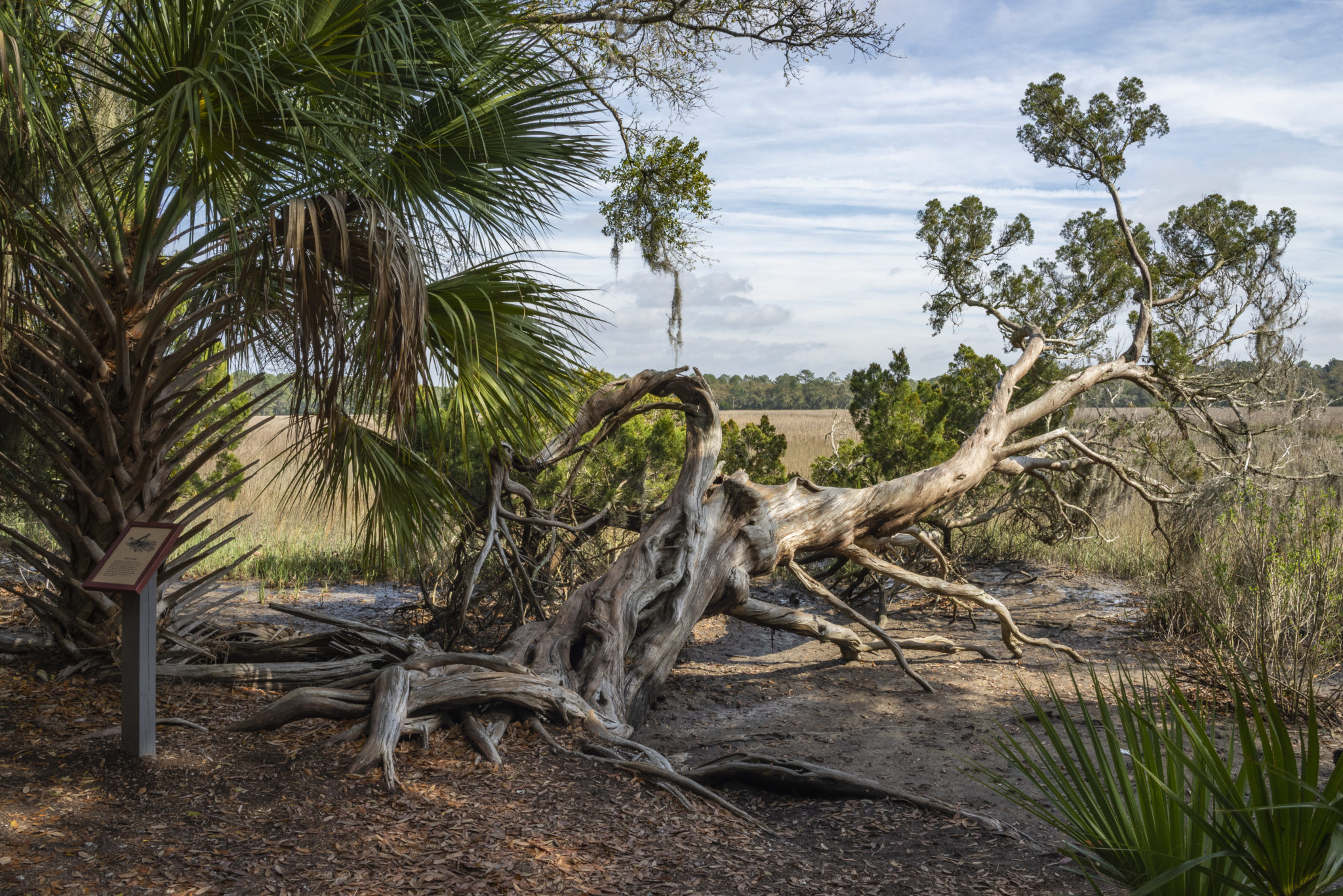
After 0.25-miles, trail users will bear right at the first
fork, heading northeast toward the first stop, the freshwater slough.
Pronounced ‘sloo’, these types of freshwater ponds occur during times of higher
water levels and are tied to the water table.
After a foot bridge over the slough, the trail continues
northeast for 0.3 miles where it connects with the west side of the loop. The
next stop on the trail is the site of shell middens, or shell mounds, left by
native peoples of the area. Oysters were an important source of food for
coastal Indians and were later a key building material for European colonists
who mixed the shells with lime and sand to create tabby.
Just after the middens, a slight jog to the right of the trail
will bring hikers and cyclists past one of the park’s 31 abandoned liquor
stills from the Prohibition era. The island’s seclusion made it a good place to
build stills and bootleggers could easily sneak on and off the island by boat
with their illegal spirits.
The still jog reconnects with the main trail and then starts
the earthworks loop. Bear right again and a foot bridge will signify the
location of the earthworks. These V-shaped mounds were typically constructed by
slaves and served as part of the Confederate defense in the Civil War.
From the furthest point in the trail, follow the path for
the remainder of the loop, eventually passing the shell middens once more, this
time on the right. Around 0.3 miles from the earthworks, the trail will fork
again and head west. To the right lies the Skidaway Narrows, a major estuary of
the area.
The next stop, a saltwater slough, is comprised of brackish
water and serves as a protective habitat for young fish and small marine life.
Adjacent to the slough is a two-story observation tower that gives visitors an
excellent view of the narrows and the wildlife that flourish in the estuary.
Heading southeast from the tower back toward the trailhead,
follow the Historic Road portion of the path. You’ll come to the alligator
ponds, the final spot of interest on the trail. These freshwater ponds may have
an alligator or two, but in fact serve as a safe home for a variety of birds,
reptiles, and amphibians. After the ponds, you’ll follow the same route back to
the trailhead for about 0.3 miles to complete the loop.


 Distance: 3
 Difficulty: easy, moderate
 Directions


 2 months ago


