Minnehaha Falls Trail in Rabun County is a short, family
friendly trek to an amazing Georgia waterfall. If you’re in the vicinity of
Tallulah Falls and want to see a waterfall without the hustle and bustle of the
Tallulah Gorge State Park, this is a great sidetrack that won’t disappoint.
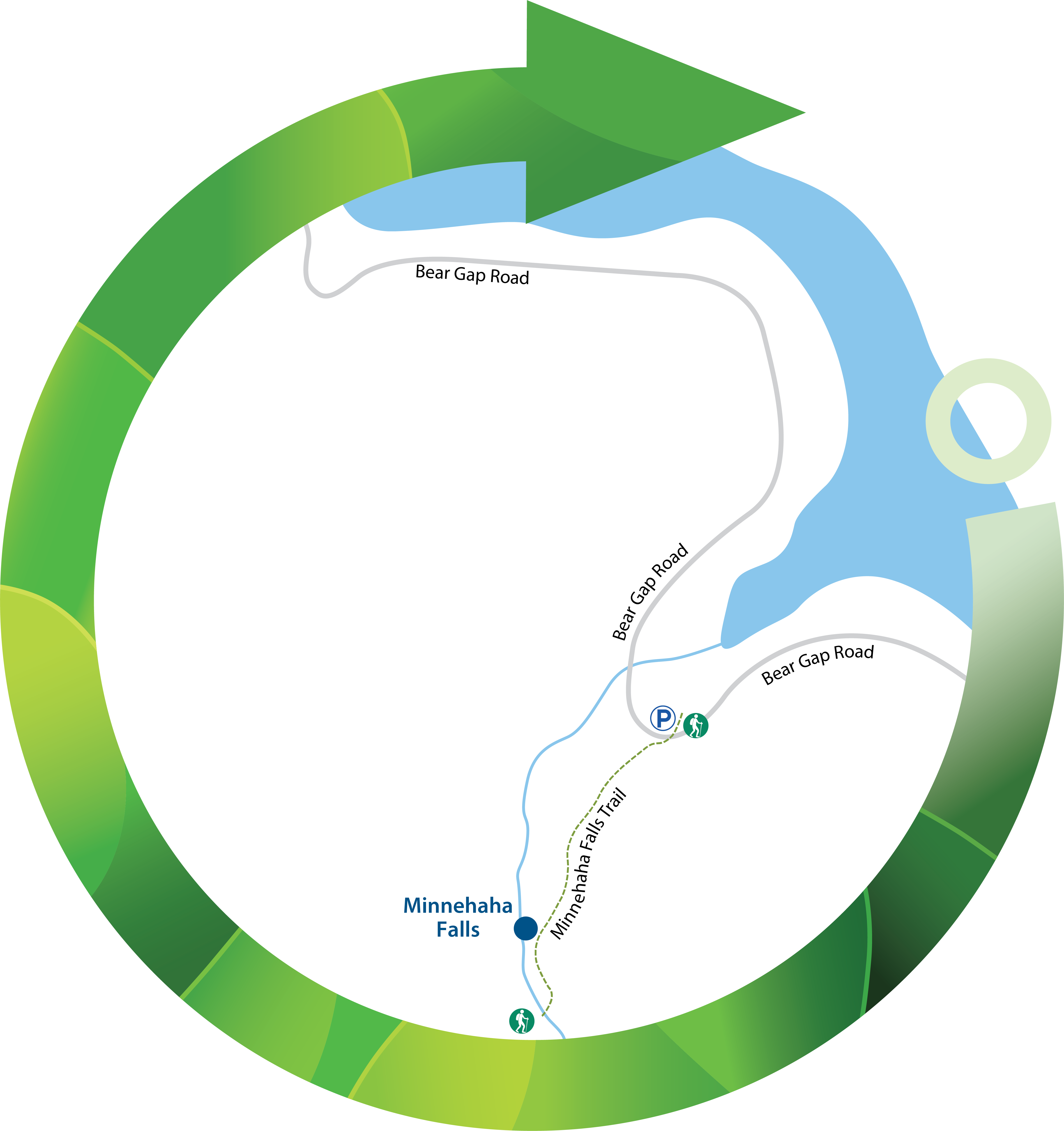
To get to the trailhead, take U.S. 23/441 North from
Tallulah Falls for 3 miles to the Rabun Beach Recreation Area sign. Turn left
onto Old 441 and go 2.5 miles. Take a left on Lake Rabun Road and proceed 1-mile
past the Recreation Area before taking a left on Low Gap Road at the Flat Creek
Community sign. Bear Gap Road then forks left; continue for 1.5 miles. A sign on
the right side of the road marks the trail. Limited parking is available along
the road adjacent to a cove of Lake Rabun.
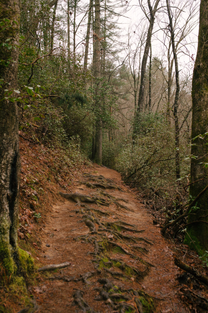
The trailhead is marked with a green diamond and the number
147 and the pathway quickly ascends a wooden staircase and heads southwest
toward the falls. The hike quickly finds the banks of Falls Creek, carving its
way through the forest which features a host of rhododendron. The evergreen
leaves of the rhododendron make the hike seem pleasant even in the stark winter
months, but the environment comes alive in May when the plant is in bloom.
Minimal elevation changes and a short distance make this
hike a breeze for nearly every member of the family. About 0.1 miles from the
trailhead, you can hear the rolling cascade as you continue down the well-worn
path. Don’t confuse the feature attraction with a smaller waterfall along the
way.
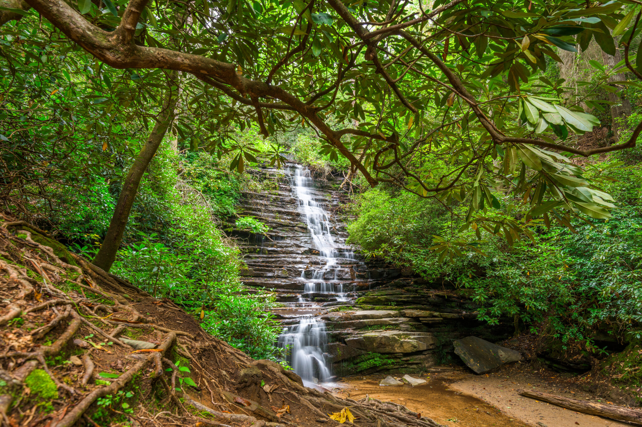
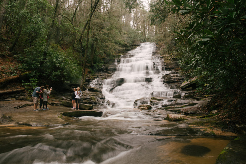
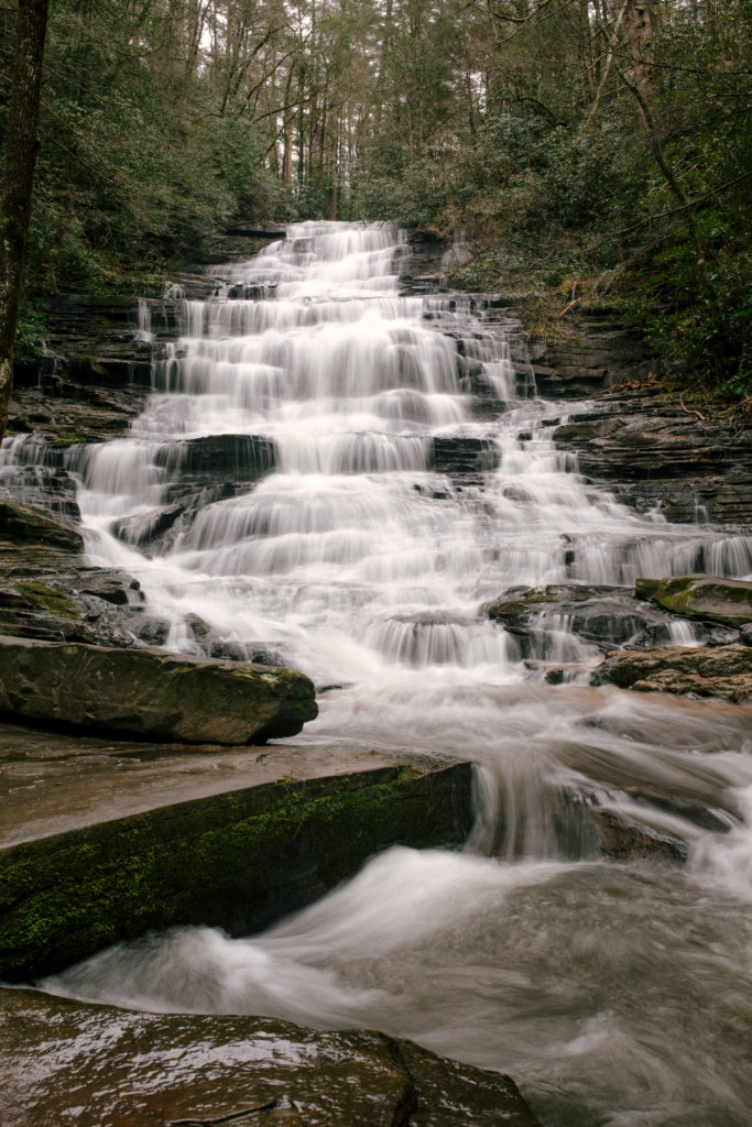
As you approach Minnehaha, a side trail leads to the lower
falls, visible from the rock-lined riverbank. At 0.2 miles the main trail ends
at the clearing near the base of the falls. The waterfall rushes over the
jagged, tiered rocks and widens as it reaches the bottom before converging back
into Falls Creek.
Once you’re done soaking up the natural views, there’s good
news – it’s only 0.2 miles back to the trailhead. Follow the path back the way
you came and make sure to take with you what you brought in to preserve this
natural resource for others.
TRAILHEAD PROFILE
Laruen Tingler
Hiciunt est, sequas rem volorem aut apis etur minvelles recaborempos adipis dolor sim re nis
volor rerem rest, te ius. Pudaecullat quat volupis eaque quid et explaci enihil modis sunt
que vendis et in coneseq uissed quiae corio doles exerepe ribusda eptatus sit ius. Ipsam que
vel exceptas esedipsam et volorru ptatem nonsequunt. La et excearunto eosam faccae nobit.
Aexped quia soluptatus ipsaest eumqui od que etur, occuptatust moditiunte et aceribus,
vollia nobis sum simillitatis nias nobis diorem. Namus sandit exped quias explibe aquamus
dignatis estio te nonseque.
La et excearunto eosam faccae nobit. Aexped quia soluptatus ipsaest eumqui od que etur.
Trail Maps
GPS Coordinates:
Trailmap:
Interactive Map:
Mike Schalk
2 months ago
hiking
La et excearunto eosam faccae nobit, exped quia soluptatus ipsaest eumqui od que
etur, occuptatust moditiunte et aceribus, vollia nobis sum simillitatis nias nobis
diorem. Namus sandit exped quias explibe aquamus dignatis estio te nonseque vitium
vid quam atiis quias dolum ... more
Bonnie Hunter
2 months ago
hiking
La et excearunto eosam faccae nobit, exped quia soluptatus ipsaest eumqui od que
etur, occuptatust moditiunte et aceribus, vollia nobis sum simillitatis nias nobis
diorem. Namus sandit exped quias explibe aquamus dignatis estio te nonseque vitium
vid quam atiis quias dolum ... more
Spence Garcia
2 months ago
hiking
La et excearunto eosam faccae nobit, exped quia soluptatus ipsaest eumqui od que
etur, occuptatust moditiunte et aceribus, vollia nobis sum simillitatis nias nobis
diorem. Namus sandit exped quias explibe aquamus dignatis estio te nonseque vitium
vid quam atiis quias dolum ... more
Nathan Faulkenberry
2 months ago
hiking
La et excearunto eosam faccae nobit, exped quia soluptatus ipsaest eumqui od que
etur, occuptatust moditiunte et aceribus, vollia nobis sum simillitatis nias nobis
diorem. Namus sandit exped quias explibe aquamus dignatis estio te nonseque vitium
vid quam atiis quias dolum ... more
Featured Attractions
Georgia State Parks
The Georgia State Parks & Historic Sites Park Guide is a handy resource for planning a spring break, summer vacation or family reunion. The free booklet is filled with tips on the best hiking trails, fishing spots, cabins, wedding venues and campsites. Visit Website


 Distance: 0.4 miles
 Difficulty: Moderate
 Directions
; w.print(); )


 2 months ago


