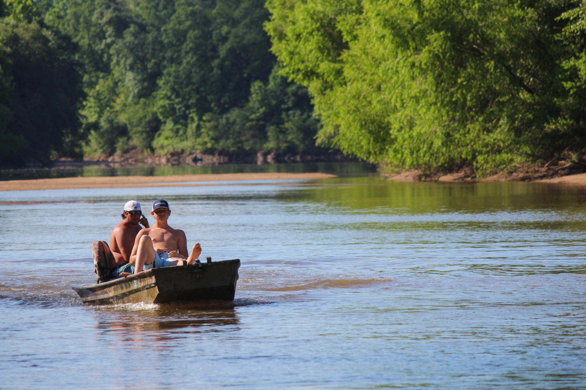
Some say Sprewell Bluff Park is one of Georgia hiking’s best kept secrets. The park is best known for its natural surroundings and proximity to the Flint River. There is an entry fee of $5 per car to access the park, which also has a campground and recreational amenities. The 1,300-acre park is situated along 3 miles of the Flint River, in Upson County, Georgia. Its well-maintained trail is perfect for people of all ages. Bird watching enthusiasts be prepared to catch a glimpse of spotted tanagers, warblers, osprey, woodpeckers, and eagles along the river or nesting in the cliffs and forest during this walk.
Sprewell Bluff Park is approximately 60 miles south of Atlanta, 50 miles east of Columbus, 40 miles west of Macon.
Directions from Thomaston, GA: From the intersection of GA 74 (Main Street) and US 19 (Church Street) in downtown Thomaston, follow GA 74 West for 5.7 miles, then turn left (south) onto Old Alabama Road for 6.6 miles to its terminus at the Flint River trailhead in Sprewell Bluff Park. At the park entrance, you will seethe Trading Post Gift Shop and Campground Check-In.
Make
sure to stop in at the Trading Post Gift Shop for a park map and a parking pass
before hitting the trail. Don’t be shy of the inviting waters of the Flint
River – they are just the thing for those hot summer day hikes, before and
after a day on the trail.
The hike begins at the Flint River trailhead at the end of Sprewell Bluff Road. Directly across the river from the parking area, Sprewell Bluff is clearly visible as it towers above the river. Two trails leave the large trailhead parking area: The Longleaf Pine Trail heads east/northeast and downstream, and the Upper Flint River Trail heads west and upstream. For the 2.2-mile hike, pick up the Upper Flint River Trail at the trailhead kiosk near the far end of the parking area. The wide trail stays close to the river in the beginning, passing through the picnic area. When the picnic area ends at 0.1 miles, a distinct trail bears right, gently ascending away from the river to bypass a line of sheer bluffs. Take the trail to the left and at 0.2 miles you will reach two observation areas overlooking the Flint River on the bluffs. If you brought your binoculars, now is the time to break them out.
Beyond these overlooks, the trail continues, ascending through open woods. At 0.25 miles, there is a junction with a blue-blazed access trail that turns to the right, leading to a secondary ridgetop trailhead on Sprewell Bluff Road. Continue straight on the Upper Flint River Trail here, which is not as clearly marked. There are several more bluff-top river views through the thinly placed trees. Almost immediately, the trail descends moderately back down to the river, at 0.45 miles. Keep right to continue the trail past areas of river shoals adjacent to the river.
At 0.7 miles, there is another
intersection marked. The trail that bears right of the marker is the continuation
of the Upper Flint River Trail, while the trail that bears left is a spur trail
to a large island and beach-like area in the Flint River. If this oasis is too
tempting, you can extend the hike, then take the spur trail left, reaching its
end near the river at 0.85 miles. Next to the Flint River is a large sandy area
in the picturesque floodplain. From the end of the trail, it is possible to
rock hop or wade in low water levels across this small channel of the Flint
River and walk down a rocky “beach” to the edge of the river’s
waters. If it has been rainy and the water levels are high, the rocky beach is
likely going to be under water.
From the island, retrace
your steps back to the point where the trail reaches the river near a line of
bluffs. This time, instead of climbing away from the river right away, continue
straight on a narrow path that leads to the base of the impressive bluffs.
Several twisting paths provide routes to the top of the bluffs. Returning to
the trail, follow it back toward the trailhead, passing the double observation
deck. At the intersection near the end, you can bear left on the hillside trail
that stays above the picnic area. Passing a pair of fiberglass trail markers,
you will reach the trailhead and conclude the hike from where you started at 2.2
miles.


 Distance: 2.2
 Difficulty: easy
 Directions


 2 months ago


