- Outdoors Store
- Blog
- About Us
- Contact Us
- DGO Guide
- Activity Menu
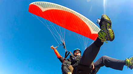
- Air Sports
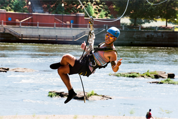
- Adventure
- Bicycling
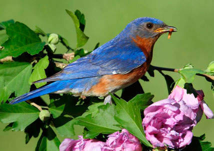
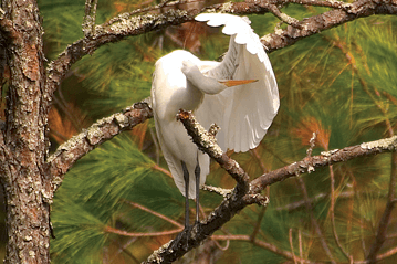
- Birding & Wildlife
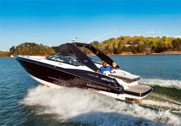
- Boating
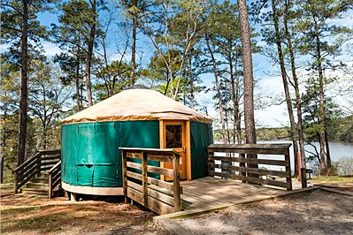
- Camping
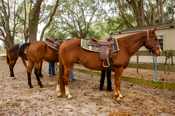
- Equestrian
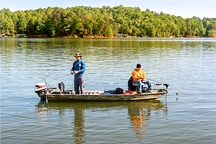
- Fishing
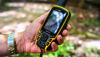
- Geocaching
- Golf
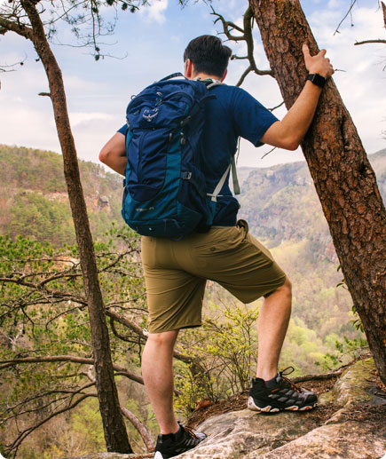
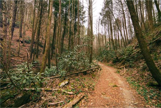
- Hiking
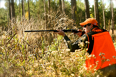
- Hunting
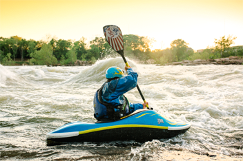
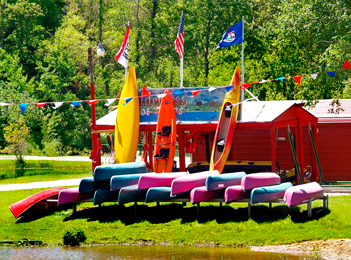
- Paddling & Floating
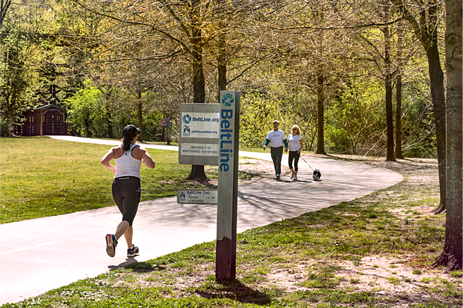
- Running
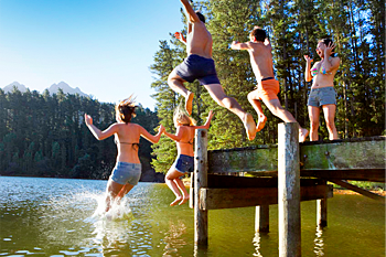
- Swimming
- Atlanta Metro
- East Georgia
- Coastal Georgia
- Middle Georgia
- Northwest Georgia Mountains
- South Georgia
- NE Georgia Mountains
- Scenic Southwest Georgia
- West Georgia
- Overnight It
- See It